


Date hiked: 08/14/16
Mileage: 8.9 mi; 4.5 hrs
Head Count (how many other hikers I saw): 8-10 groups
__________
I think I’ve caught the class 3 bug.
After a successful summit of Sneffels a few days before, I headed out to Lake City for another peak I’ve had my eye on since moving here.
The naming of Wetterhorn and its neighbor Matterhorn were inspired by the original Swiss mountains of the same names. The word is German for “weather peak”, and with the volatile storms that regularly grip the San Juans, the name fits perfectly. I was just glad the namesake didn’t rear its perilous head this day.
Wetterhorn (along with Sneffels) is one of the easier class 3 14ers in the state, with only one common route up. Because of this, you’ll find a lot of trail traffic. While that doesn’t complicate matters much on the lower, class 2, half of the hike along the Ridge Stock Driveway Trail, the last 150 feet or so are like a clog in the drain as you wait for the other climbers to summit. But it didn’t matter much, because I was hard pressed to find any grumpy attitudes up here.
Following Matterhorn Creek for the first three-quarters of a mile, the Ridge Stock Driveway Trail hits its first junction, where the Matterhorn Cutoff takes off to the left. Our trail up to Wetterhorn continues to the right.
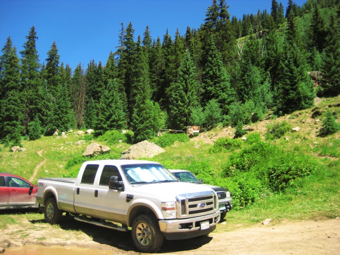
The upper 4WD trailhead.
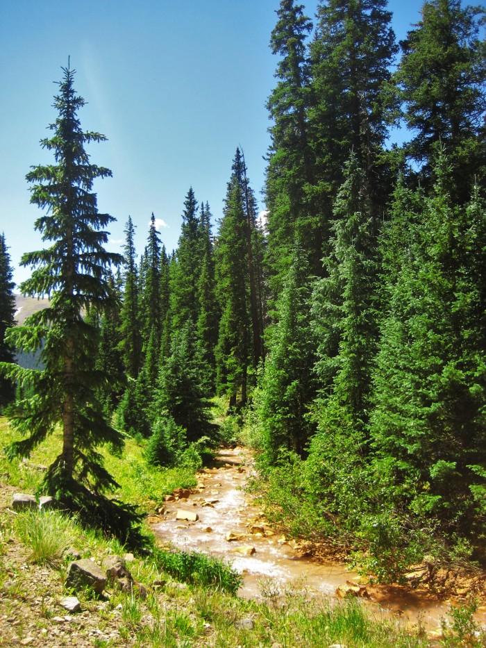
Matterhorn Creek
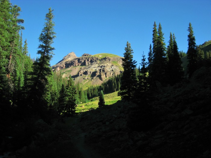
Nearing treeline, and with no hindering trees, Wetterhorn Peak finds its way into view from behind its lengthy southern ridge.
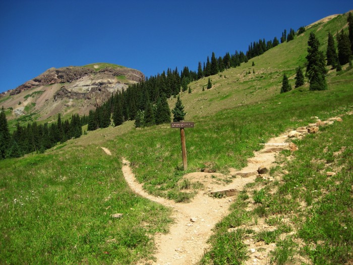
The Wetterhorn Cutoff. Head right here, unless you’re looking to add another four miles to your trip.
Swinging a wide arc back to the southeast before climbing north on the expansive hillsides above the stream, treeline comes and goes, and Wetterhorn slips fully into view. The route traverses a series of shallow drainage streams rife with wildflowers. Nearing 2 miles from the trailhead, the Wetterhorn Trail feeds into the Ridge Stock Driveway Trail. Turn left, and the route descends back into Wetterhorn Creek before the first push up the wide basin straddling Wetterhorn and Matterhorn. As the hills drop away at your back, Wetterhorn’s parent mountain, Uncompahgre Peak, comes into view, along with the saddle connecting them. If you were to continue along the Ridge Stock Driveway Trail another 2.5 miles, give or take, you can reach the Uncompahgre trail and bag two 14ers for the price of one hike (…one long hike).
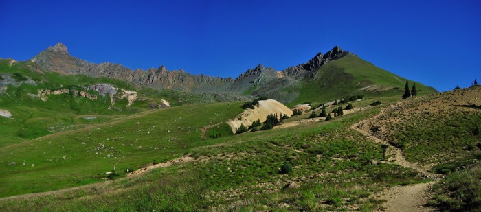
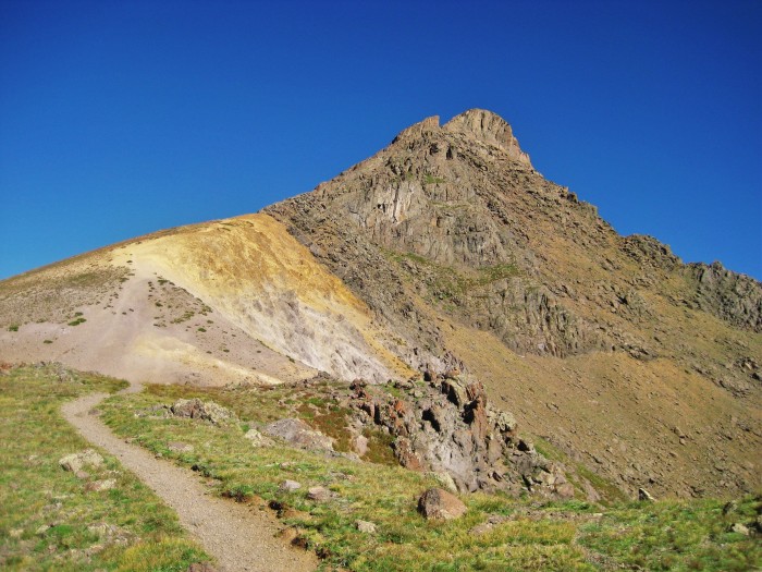
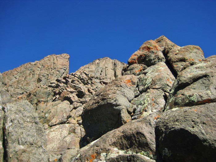
Wetterhorn to the left and Matterhorn to the right.
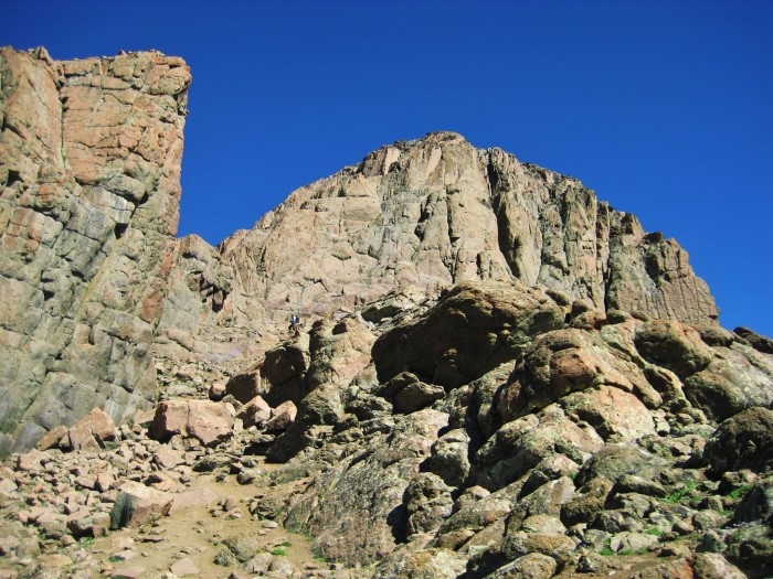
Starting at about 12,000 feet, a large talus field litters the basin below Wetterhorn with sedan-sized boulders. Routefinding gets more tedious at this point, until an obvious trail clings to the ridgeline. A stark patch of slippery yellow-colored dirt spans a short distance, which was, in my opinion, the toughest section of the entire hike, class three climb and all. But I hate that loose stuff – I’d take bouldering over it any day.
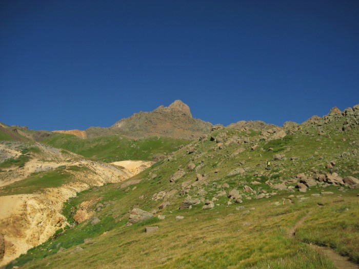
Wetterhorn Peak
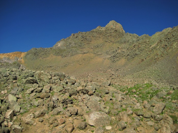
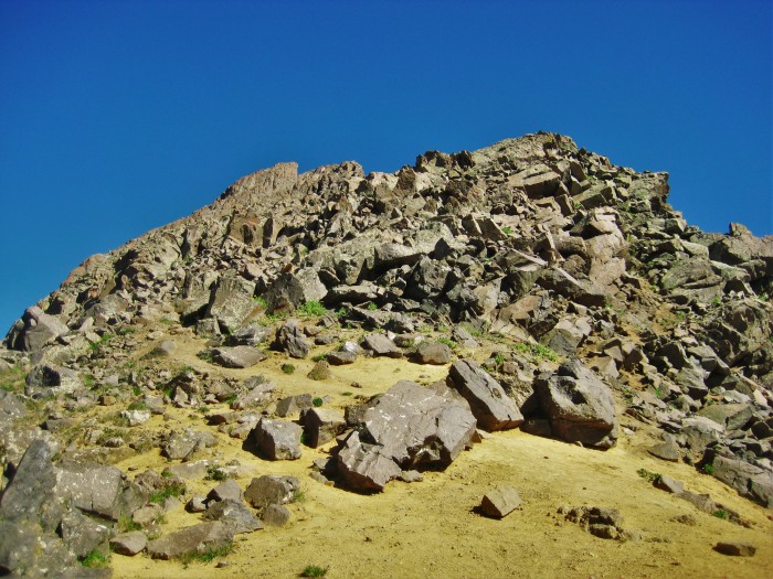
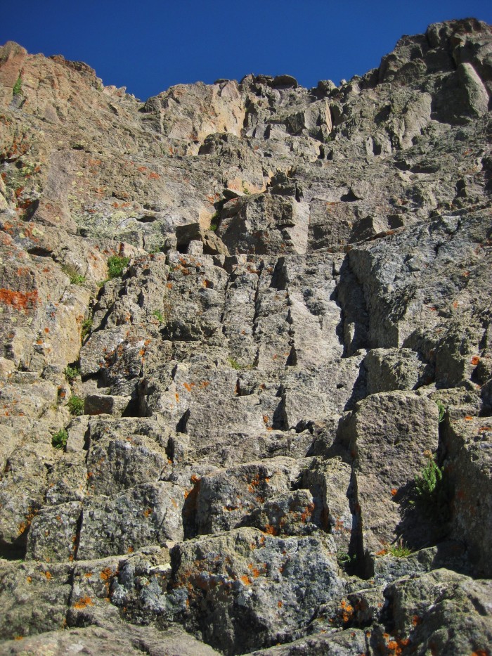
The yellow ridge from Hell.
And this is where the fun starts.
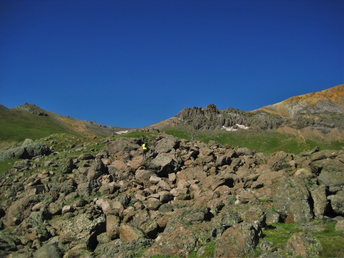
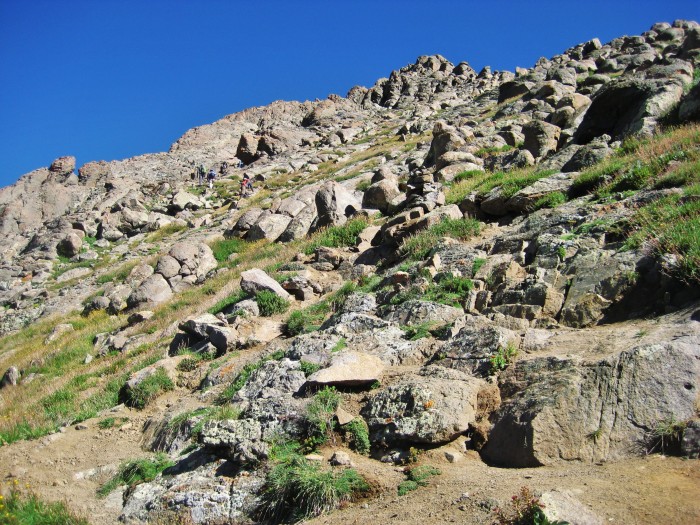
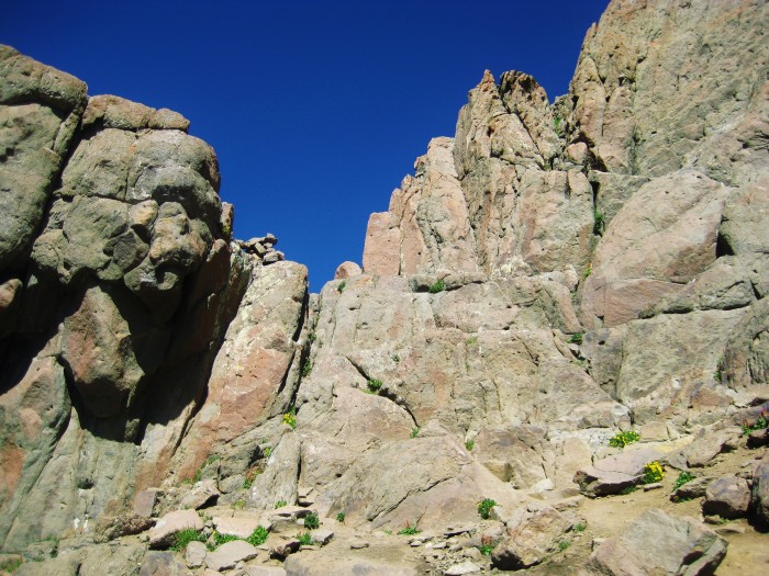
From the yellow dirt, locate the broken trail threading a loose ribbon between the rocks. The route is obvious the first 400 feet, but as the climb progresses, landmarks fade. At 13,000 feet, the trail reaches the “Ship’s Prow”, at which point, the climbing begins.
The Ship’s Prow: the fin-like landmark to the left.
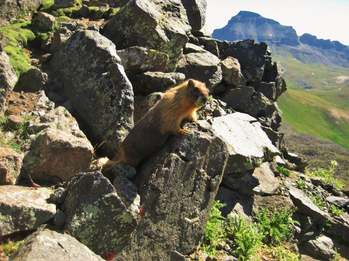
Marmots never disappoint…unless, of course, they’re eating your car’s undercarriage (which they are known to do).
At the Ship’s Prow, hook left and climb towards the collapsed cairn at the top left of the rocks.
Climb this class-3 wall towards the defined ledge running along the upper half of this photo.
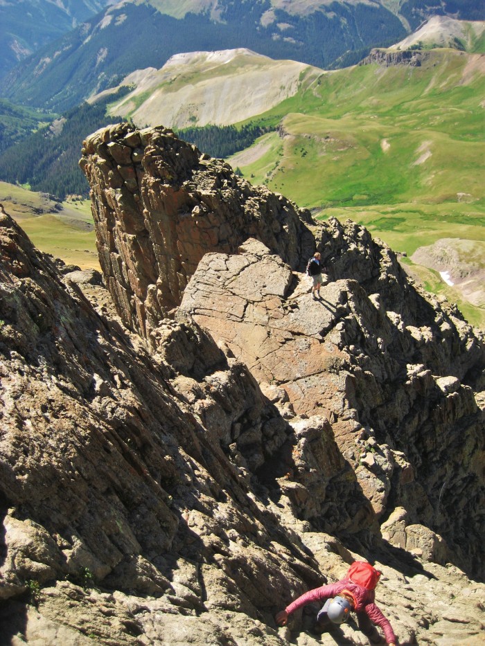
Turning left, the ledge dumps you into the final pitch towards the summit. From above, here’s a look at another climber descending the wall.
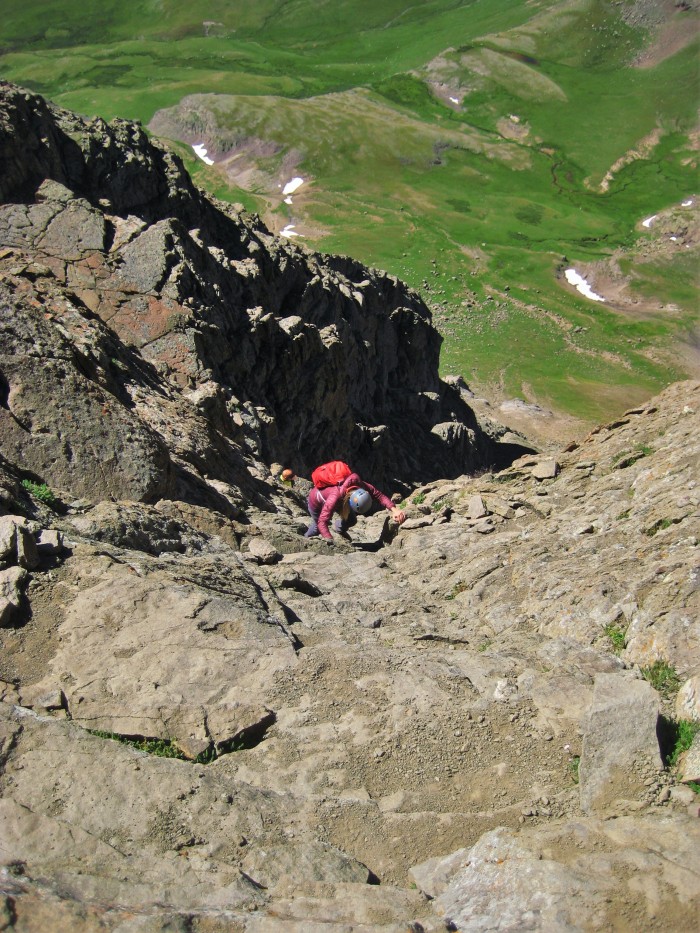
Here’s the upper half of the wall. It may look steep, but solid handholds and footholds abound.
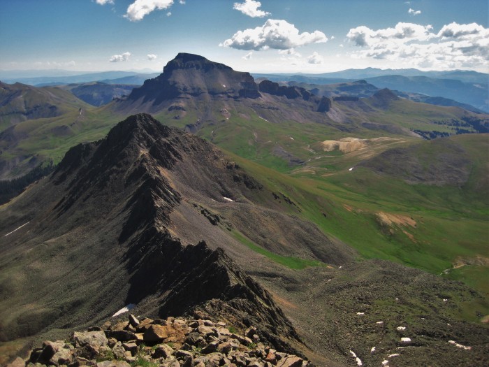
Uncompahgre Peak from the summit.
* * *
And last but not least, one thing I’ve learned, always be prepared for anything if venturing to these remote neck of the woods:
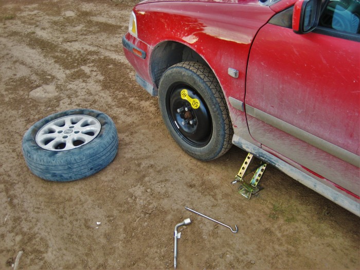
You don’t have to be a mechanic, but it’s a good idea to at least know how to change a tire. It’s such a common thing to happen on these dirt roads, and such an easy fix. Never rely on good cell service out here to call a tow.
I was hoping to hike over to Uncompahgre too, but between changing the tire, and worrying about bringing a spare up the last rough bit of the road to the trailhead, unfortunately I didn’t have enough daylight left by the end of it.
Between nasty thunderstorms and car troubles, it seems every other hike I’ve done this year had to be cut short for one reason or another. They say everything happens for a reason…so what could this all be teaching me – patience maybe? Or maybe there was a hungry bear or mountain lion laying in wait on the long saddle over to Uncompahgre.
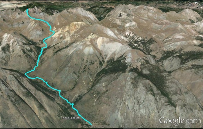
Trail Map
Directions
(From Lake City): From Highway 149 (Gunnison Avenue), turn west onto 2nd Avenue. Turn left onto Bluff Street, which then becomes CR-20/Alpine Loop. Follow this easy 2WD dirt road for eleven miles, then turn right onto CR-24 at Capitol City. I parked here with the spare, but you could probably still bring a low-clearance 2WD vehicle up CR-24 with care. After two miles, park in the pullout, or turn right at the Matterhorn Creek Trailhead sign and continue another .7 miles to the upper 4WD trailhead.
11.2 miles to the lower trailhead; 58 min

Can’t believe you got a flat!
LikeLike
I know – I keep getting them out here for some reason. But I got four new tires and got them freshly aligned, so hopefully that’ll be it.
LikeLike
Pingback: Uncompahgre Peak | Got Altitude?
Pingback: East Slopes of Handies Peak | Got Altitude?
Pingback: Dexter Creek Trail #205 | Got Altitude?